

Tsumago to Nojiri
The Complete Nakasendo Trail Guide
妻籠宿→野尻宿
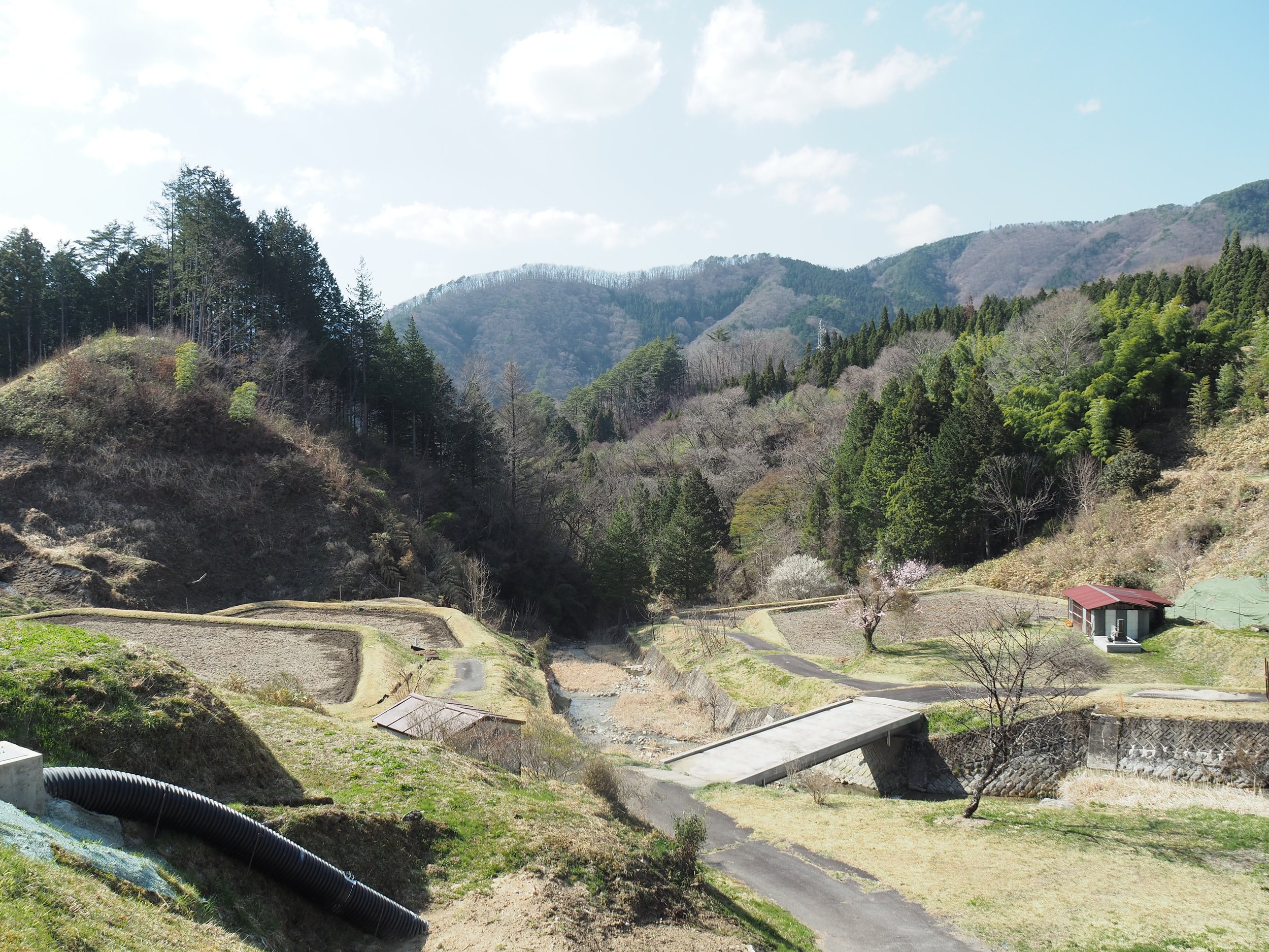
This 19 km expedition takes you out of the picture-postcard crowds of Tsumago-juku, through the quiet residential outskirts of Nagiso and Midono, and straight up into the mountains along the historic Yogawa Michi (与川道). So say goodbye to the souvenir shops. Then the vending machines. Soon, the paved roads turn to forest paths, rice fields past rice fields, and the only sound left is your own breathing (plus the frantic jingling of your bear bell).
The Yogawa Michi is historically unique: it was the Edo-period "Plan B." When torrential rains turned the Kiso River into a raging flood and washed away the main highway, travelers diverted into these mountains to reach Nojiri safely. Today, while much of the original valley route has been swallowed by modern highways and train tracks, the Yogawa Michi remains remarkably preserved, quiet, and wildly atmospheric.
We live and work right here in these valleys. This is literally our backyard, and while it’s longer and significantly more demanding than the standard tourist walk, that’s precisely why we love it. You aren’t just hopping between curated historic photo-ops; you are walking through the living, breathing Japanese countryside that connects them.
Here is everything you need to know to survive—and enjoy—the Yogawa Michi.
Prefer to walk with a local?
If you would rather leave the navigation to us and learn about the history, landscape and people of the Kiso Valley along the way, we offer guided tours of this route. We also offer multi-day Self Guided and Semi Guided tours of the Nakasendo.
Tsumago to Nojiri at a Glance
Distance: Approximately 19 km / 12 miles
Walking Time: Approximately 5 hours
Difficulty: Moderate — not technical, but requires good stamina
Terrain: Village roads, agricultural roads, forest paths, hills and mountain trails
Recommended Direction: Tsumago → Nojiri
Main Access Points: Tsumago-juku, Nagiso Station, Nojiri Station
Main Highlights: Tsumago-juku, Midono-juku, Yogawa Michi, rural hamlets, rice fields, mountain forests, Nenoue Pass, Nojiri-juku
Atmosphere: Quiet, rural and increasingly remote
Best For: Travelers looking for a longer, quieter and more adventurous Nakasendo experience
What is the Nakasendo?
The Nakasendo – 中山道 –, or “Central Mountain Route,” was one of the major highways of Edo-period Japan, connecting Edo, present-day Tokyo, with Kyoto through the mountains of central Japan. Unlike the coastal Tokaido route, the Nakasendo crossed the mountainous interior of Japan. The route was approximately 500 km long and contained 69 post towns (juku), where travelers could eat, rest and stay overnight. The Kiso Valley was one of the most mountainous sections of the journey. Today, much of the original road has disappeared beneath modern roads, railways and towns. Other sections have survived as walking paths, while some sections have been replaced by alternative historical routes. Tsumago to Nojiri is particularly interesting because it includes one of those alternative routes: the Yogawa Michi.
What is the Yogawa Michi?
The Yogawa Michi (与川道) was the historical mountain detour. The primary Nakasendo route through this stretch ran alongside the Kiso River. While flatter, the river was unpredictable—heavy rain meant mudslides, collapsed bridges, and raging floodwaters. When the river route became impassable, travelers were diverted high into the hills through the rural hamlets of Yogawa before descending into Nojiri. Because it bypasses the modern highway infrastructure completely, the Yogawa Michi remains one of the most serene, beautiful, and uncrowded walking paths in central Japan. You are not walking from one famous tourist attraction to another. You are following an old mountain road through a landscape that is still lived in and farmed today.
Planning & Logistics
Which direction should you walk?
For most travelers, we recommend Tsumago → Nojiri. Starting in Tsumago means you begin in one of the most beautiful and atmospheric post towns on the Nakasendo before gradually leaving the tourist areas behind. The first part of the route passes through Nagiso and Midono, after which the trail heads deeper into the countryside and onto the Yogawa Michi. Eventually, you cross Nenoue Pass before beginning the descent toward Nojiri. The journey therefore has a satisfying sense of progression:
historic post town → rural valley → mountain countryside → forest → mountain pass → Nojiri
How difficult is the Tsumago to Nojiri hike?
This is a moderate hike, but it requires considerably more stamina than Magome to Tsumago. There are no technical climbing sections and you do not need mountaineering equipment. But 19 km is a long way to walk, and there are several steep sections along the route.
Expect village roads, paved sections, agricultural roads, forest paths, uneven terrain, sustained climbs and descents, mountain trails, and limited services once you enter the Yogawa area
Comfortable hiking shoes or good sports shoes are essential. The route is generally well signposted, although some sections can feel surprisingly informal. At times, the signs may appear to lead you toward someone's house or through a seemingly ordinary residential area. Don't panic. This is part of the character of the Yogawa Michi. The route passes directly through living rural communities, and walkers are welcomed along the historic path.
How long does it take?
The full Tsumago to Nojiri route is approximately 19 km and takes around 5 hours of walking. We recommend allowing at least 5-6 hours for the day if you want to walk comfortably, take photographs and stop to appreciate the scenery.
There is also a shorter option. Starting at Nagiso Station rather than Tsumago reduces the hike to approximately 15 km. For either option, start early. Once you enter the Yogawa Michi, you are committed to a long mountain section, with relatively few opportunities to shorten the walk.
When is the best time to walk the Nakasendo?
The Yogawa Michi can be beautiful in every season, but conditions vary significantly.
Spring (April-May)
Bright green foliage, flowing streams, and flooded rice fields reflecting the sky. Cool mornings, warm afternoons. Ideal hiking weather.
Summer (June-August)
Lush and vibrant, but hot, humid, and demanding. High elevation and forest canopy give some shade, but you'll need double the water. Watch out for rain-slicked rocks. This is our least recommended time of year for this hike.
Autumn (September-November)
Our absolute favorite time. Golden rice paddies ready for harvest, crisp mountain air, and brilliant autumn leaves. Keep an eye on daylight hours as days shorten quickly.
Winter (December-March)
Quiet and striking, but snow and ice can turn sections slippery and treacherous. Only recommended for well-equipped, experienced winter walkers.
Getting to the Trailhead
By Train & Bus
The easiest starting point for the full hike is Tsumago-juku. Travel to Nagiso Station on the JR Chuo Main Line and take the local bus to Tsumago. Alternatively, you can take a taxi from Nagiso Station. If you want to shorten the hike, simply begin at Nagiso Station instead. At the end of the walk, Nojiri Station provides direct access to the JR Chuo Main Line. This makes the route particularly convenient for travelers continuing north toward Kiso-Fukushima or onward toward Matsumoto, or traveling south toward Nakatsugawa and Nagoya.
Note: Bus and train timetables change seasonally. Always check the current timetable before travelling.
By Car
It is possible to drive to Tsumago and use the public parking areas there. However, because the walk finishes in Nojiri, you will need to arrange transportation back to your vehicle.
Food, Water & Supplies
The “No Vending Machines” Warning
We cannot stress this enough: once you clear Midono-juku and start climbing into the Yogawa area, convenience stores cease to exist. There are no secret 7-Elevens hidden behind cedar trees, no hot coffee vending machines on top of Nenoue Pass, and no trailside cafes selling matcha soft-serve. Buy your bento and snacks in Nagiso. If you forget, your only lunch options will be whatever wild berries you can confidently identify, and trust us, foraging in bear territory is not the authentic rural experience you’re looking for.
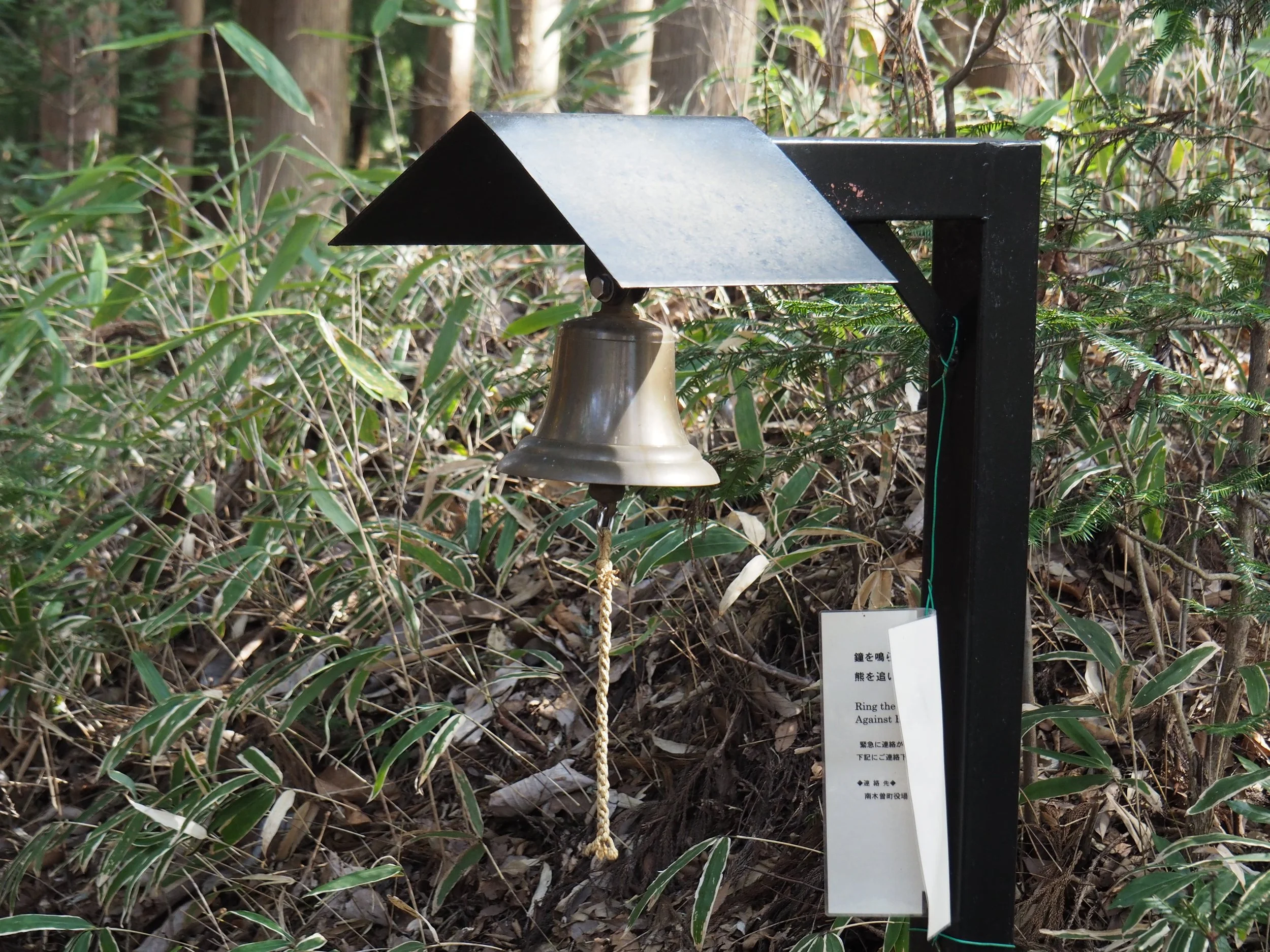
Bring plenty of water, snacks, lunch or a bento, weather-appropriate clothing, a fully charged phone, an offline map, and a bear bell.
Trail Walkthrough: What You’ll Encounter
Tsumago-juku to Nagiso
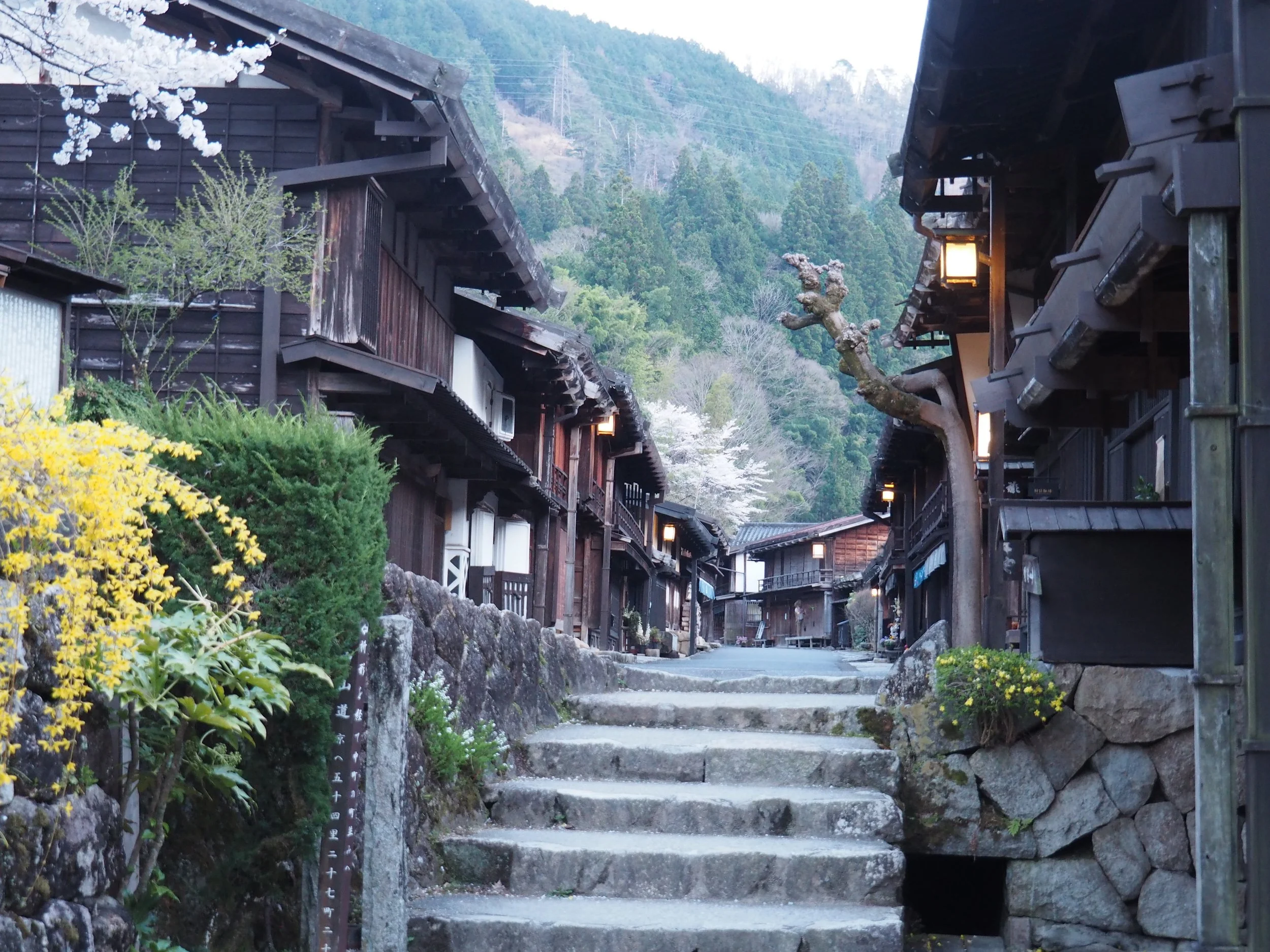
Your day begins in Tsumago-juku, one of the best-preserved post towns on the Nakasendo. If you have not visited Tsumago before, give yourself some time to explore before beginning the hike. But unlike the Magome to Tsumago walk, this time you are not heading toward another famous post town. You are heading away from the crowds. The route leaves Tsumago and begins passing through the surrounding countryside. During this first section, you gradually move from the historic atmosphere of Tsumago into the more modern but still distinctly rural landscape around Nagiso. The transition is subtle. Traditional houses give way to ordinary homes. The historic road becomes village streets. The mountains remain around you throughout. And then, before long, you pass Nagiso Station. This is an important point in the journey. If you started in Tsumago and have decided that 19 km is more than you want to tackle, this is your opportunity to stop. If you continue, the character of the walk changes.
Point of Interest: Tsumago Castle Ruins
Just outside Tsumago, a short side path climbs up to the site of Tsumago Castle Ruins. Unlike many Japanese castles, Tsumago Castle was not a grand residential castle built for a daimyo. It was a yamajiro, or mountain fortress, designed primarily for defence. Its position was strategic. The castle stood above the routes through the Kiso Valley and commanded views toward both Tsumago-juku and Midono-juku. Today, there are no castle buildings remaining. Instead, you can see traces of the original defensive structures, including earthworks, dry moats and sections of the former castle enclosure. The climb is worth it for the views alone.
Nagiso to Midono
Beyond Nagiso Station, the route continues through the valley toward Midono-juku, one of the historic post towns of the Nakasendo.
Point of Interest: Momosuke Bridge
As you approach the Nagiso/Midono area, you will encounter one of the most impressive pieces of modern history along the route: Momosuke Bridge. At first glance, it might seem strange to find such a magnificent wooden suspension bridge on a historic walking route. But Momosuke Bridge tells an important part of Nagiso’s story. The bridge was completed in 1922 by Fukuzawa Momosuke, a major figure in Japan’s early hydroelectric industry. It was built to transport construction materials for the Yomikaki Hydroelectric Power Plant across the Kiso River. At 247 metres long, it is one of Japan’s longest wooden suspension bridges. Momosuke Bridge is also a good reminder that the Kiso Valley’s history did not end when the Edo period ended.
Midono itself was largely destroyed by a fire in the late 19th century, which is why it lacks Tsumago’s uniform historic storefronts. Today, it is much quieter than Tsumago. That is part of what makes it interesting. There is no need to rush through it. Look around at the traditional buildings, old road alignments and the way the settlement sits within the valley. This section also provides a useful introduction to the geography that shaped the Nakasendo. The Kiso River runs through the valley below, while the mountains rise steeply on either side. It is easy to understand why floods and landslides could make the valley route difficult. And it is here that the story of the Yogawa Michi becomes important.
Point of Interest: Togakuji Temple and Enku Buddha Statues
As you continue toward the Yogawa Michi, look out for Togakuji Temple (等覚寺). This historic Sōtō Zen temple is particularly famous for its Enku Buddha statues. Enku (1632–1695) was a Buddhist monk and sculptor who travelled extensively throughout Japan during the Edo period, carving distinctive wooden Buddhist images as he went. Three of his statues are preserved at Togakuji, including an Idaten figure. The statues are designated as cultural properties of Nagiso Town and are open to visitors.
Entering the Yogawa Michi
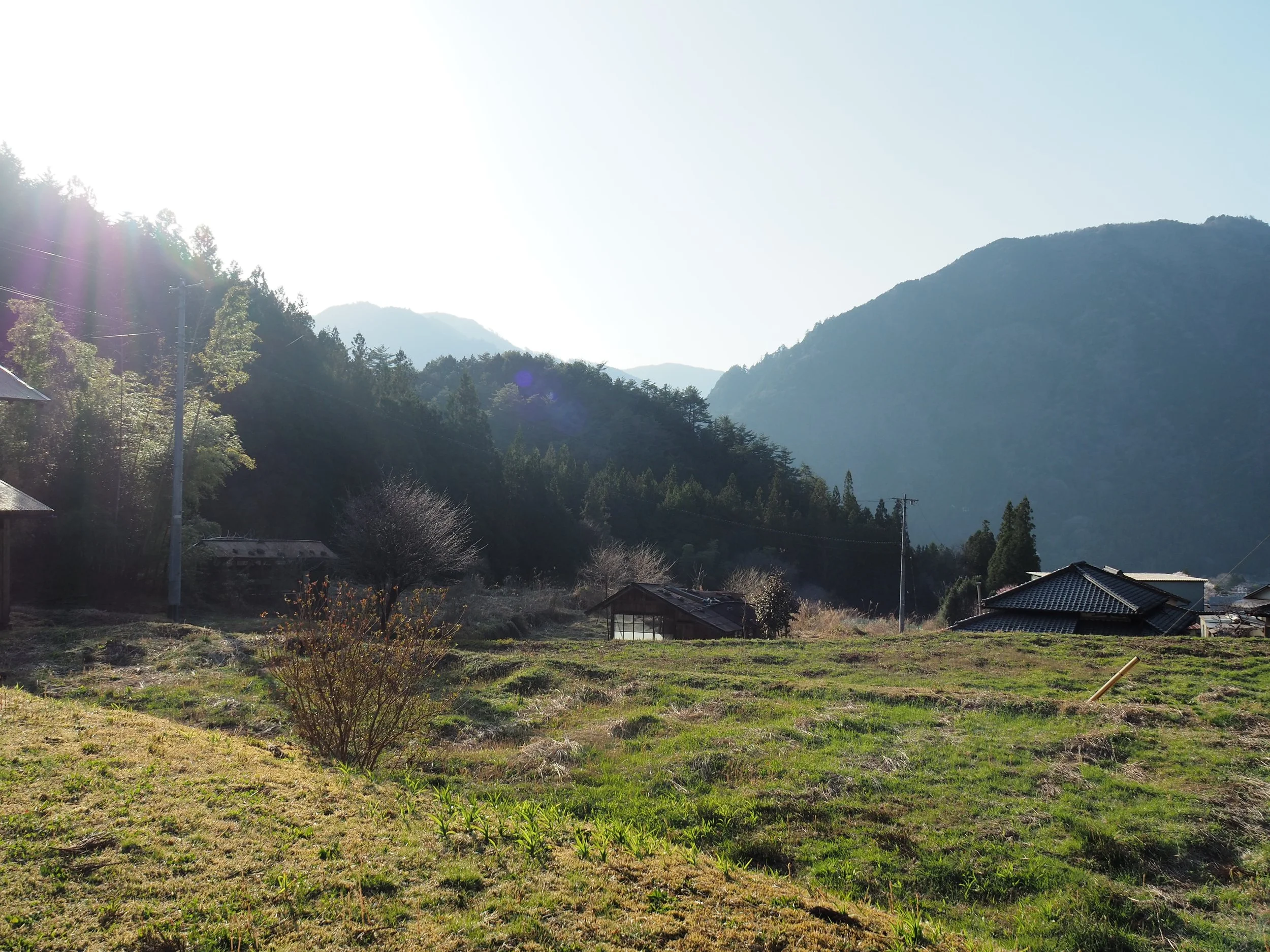
After Midono, the route gradually leaves the main valley and begins climbing into the mountains. The houses become fewer. The roads become quieter. Rice fields and small agricultural plots begin appearing between the forested slopes. And then you are properly on the Yogawa Michi. This is the part of the hike that gives Tsumago to Nojiri its character. The trail winds through the countryside, gradually climbing higher and becoming more remote. The original Nakasendo route along the valley was vulnerable to natural disasters, so this mountain route provided travelers with an alternative. Today, parts of the original route have also become modern roads, including sections of Route 19. The Yogawa Michi allows walkers to experience the older mountain landscape without having to walk beside constant modern traffic.
Point of Interest: Nakaya Pit Stop
One of the most charming stops on this route is not a historical monument at all. It is Nakaya. This is the kind of place that makes walking through rural Japan feel completely different from following a conventional tourist trail. Nakaya is an unmanned little shop, where walkers can stop for drinks and ice cream. Please remember: Nakaya is an unmanned pit stop operating purely on rural Japanese trust. Put your yen in the box, take your ice cream, and please don't test the local karma—the mountain spirits are watching.
The Mountain Villages and Rice Fields
This is where we think the route really earns its reputation. The scenery is not dramatic in the way a mountain summit might be dramatic. Instead, it is beautiful in a quieter way. Rice fields sit between forested hills. Small streams run beside the road. Traditional houses appear in tiny clusters. The mountains rise behind everything. This is satoyama — the traditional Japanese landscape where human settlement, agriculture and forest exist together. It is one of the most beautiful aspects of the Kiso Valley, and you see it particularly well along this route. You may also find yourself wondering whether you are still on the Nakasendo at all. Sometimes the road appears to lead directly toward someone's garden or through a tiny residential area. Keep following the signs. The route passes through living communities, and the occasional uncertainty is simply part of walking a historic road that still exists within a modern rural landscape.
Nenoue Pass
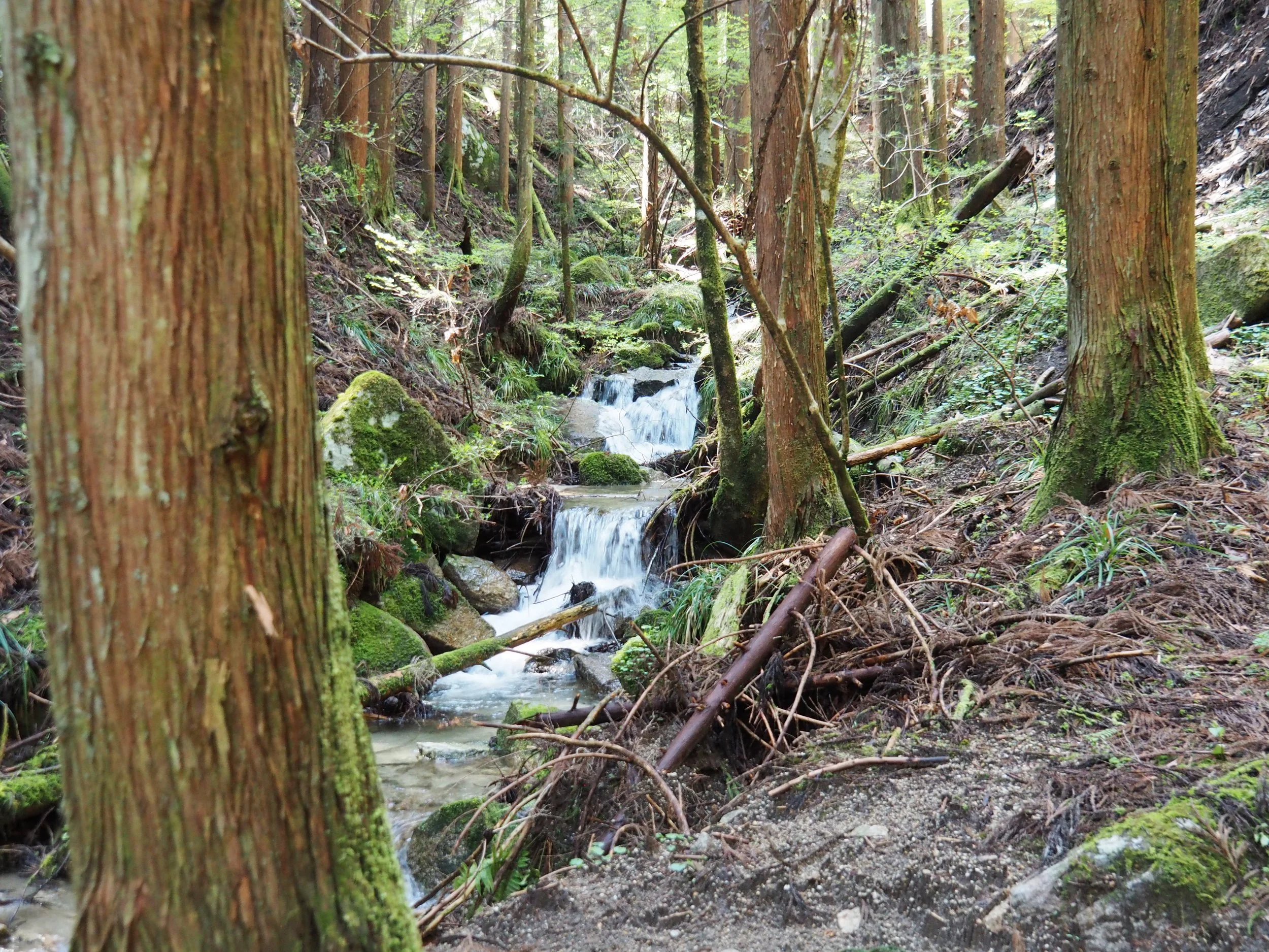
Eventually, the route reaches Nenoue Pass. This is one of the highlights of the Yogawa Michi. The trail crosses through forested mountain terrain before beginning the long descent toward Nojiri. There is something satisfying about reaching the pass after spending much of the day gradually climbing through the countryside. The landscape here is peaceful, with forest, streams and mountain air replacing the houses and rice fields of the lower valley. Take your time. This is not a section to rush. You have crossed the same kind of landscape that travelers once had to cross because the safer and easier valley route was unavailable.
Descending to Nojiri-juku
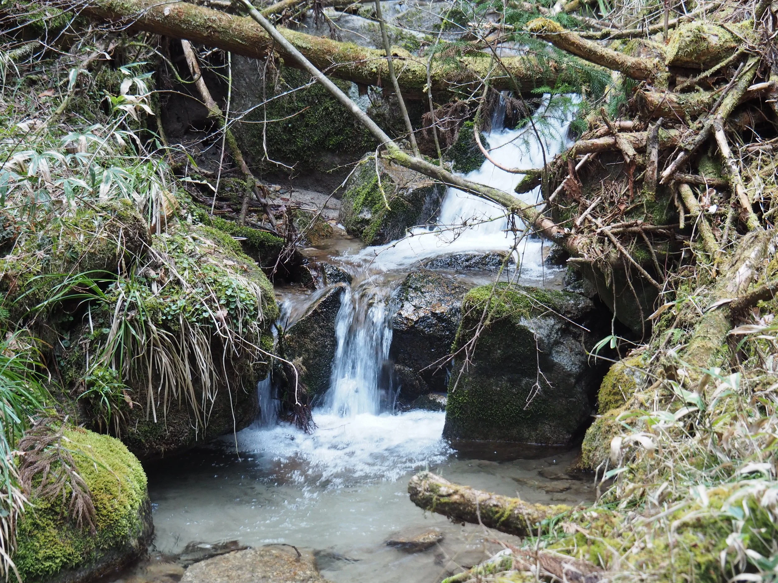
After Nenoue Pass, the route eventually begins descending. The forest becomes thicker with moss and the terrain gradually changes again as you approach Nojiri. Eventually, the trees begin to give way to the settlement of Nojiri-juku. After several hours in the mountains, arriving in the quiet post town feels like a genuine finish to the journey. Nojiri is considerably less visited than Tsumago or Magome. You won't find the same concentration of souvenir shops and cafés. Instead, there are traditional buildings, quiet streets and the atmosphere of a small working town. And then there is Nojiri Station, where you can catch the train onward. After six hours on foot, sitting down on the train can feel remarkably satisfying.
Atera Gorge Extension
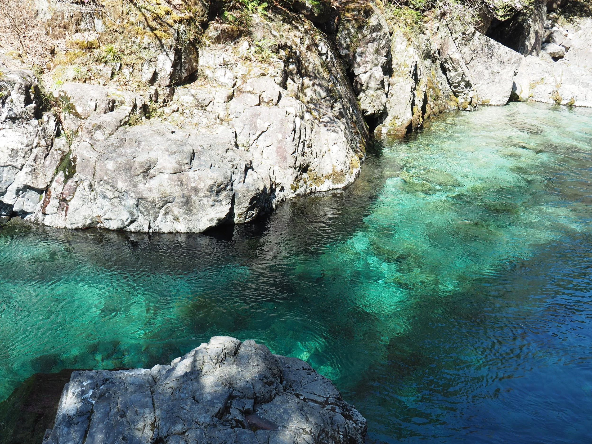
If you still have energy after reaching Nojiri, consider continuing to Atera Gorge. The gorge is famous for its exceptionally clear blue-green river, often referred to as Atera Blue. It is one of the most beautiful natural attractions in the area and makes an excellent extension to a day in Nojiri. There is also a natural hot spring near the entrance to the gorge, making this an especially appealing way to finish a long day of walking. If you have the time and energy, this is one of our favorite ways to end the journey.
Where to Eat, Drink and Stay
One important piece of advice: plan your food before you start. This is rural Japan. There are not restaurants every few kilometres, and opening days can be limited. For that reason, we recommend thinking about your food and accommodation in three stages: Tsumago before you set off, Nagiso/Midono as your last opportunity to stock up, and Nojiri or the surrounding area once you finish.
In Tsumago
Where to eat and drink
Kojitsu Coffee: a lovely place to settle in before or after your Magome-Tsumago walk. They serve specialty coffee as well as soba-flour galettes and soft serve ice cream
Fujioto, Otokichi, and Yamagiri Shokudo: great stops for classic Kiso Valley cuisine - hearty soba sets, seasonal wild mountain plants (sansai) and local freshwater fish
Ebiya: the premier stop for regional chestnut confections, most notably kuri-kinton (a delicate sweet made from sweetened mashed local chestnuts)
Wachinoya: a specialty shop serving hot, savory oyaki - steamed buckwheat dumplings stuffed with seasonal vegetables, wild mushrooms or sweet bean paste
Where to stay
Hanaya: passed down through the same family for eight generations, this deeply atmospheric inn offers guests a true sense of heritage, complete with timeless wooden architecture and warm, personal service
Around Nagiso and Midono-Juku (Last Chance for Supplies!)
Where to eat and drink
Azumaya: friendly, neighborhood eatery where you can enjoy a warm meal and leave feeling both full and refreshed; they serve comforting, homemade food made with as few additives as possible
7-Eleven: not glamorous, but extremely useful; if you need bottled water, snacks, sandwiches, rice balls or other supplies, this is your practical last stop
Izumiya Cafe: relaxed cafe in front of Nagiso station with an interior that mixes Japanese and Western influences
Where to stay
MOUNTAinn: private one-building guesthouse directly in front of Nagiso Station
Hostel Yui-an: a renovated 200-year-old traditional farmhouse surrounded by rich satoyama countryside; built around the idea of sharing a little of rural life with guests, it offers a very different experience from staying in a conventional hotel
ties Camp Ground: offers tent accommodation surrounded by the satoyama landscape, with views toward Mt. Nagiso
In Nojiri
Where to eat and drink
Coffee KATANA: charming cafe in a renovated traditional row house in Nojiri-juku. Alongside specialty coffee, the cafe brings together good things from Kiso and a selection of locally interesting products
Coffee Donguri: their house-roasted coffee is carefully brewed one cup at a time using a siphon, making it a lovely place to relax after completing the hike
Where to stay
Forespa Kiso Aterasou: this traditional inn makes an excellent base for exploring the area after your hike. Guests can enjoy a natural hot spring and local cuisine featuring river fish, while Atera Gorge’s famous clear blue-green water is close by
Miwa House: offers an entire traditional Japanese house with an irori hearth
What if you want to hike more of the Nakasendo?
If you really want to see a deeper and quieter side of rural Japan, why not consider doing a multi-day, inn-to-inn hiking tour with Really Rural Japan. These can be self-guided tours, semi-guided tours, or fully guided tours if that is what you prefer. Here are a few of the other hikes you could do:
A quieter uphill section passing through rural farming hamlets before reaching Magome
A higher-elevated forested mountain hike over Torii Pass leading into the exceptionally preserved town of Narai-juku
A simply stunning ancient pilgrimage route once trodden by the pilgrims of Mount Ontake
An quiet ancient path through the Kaido Plateau that once connecting Kiso with Takayama
Our Approach to the Nakasendo
At Really Rural Japan, we live and work right here. We don’t just pass through on business; this is our home, our backyard.
Whether you want seamless self-guided planning or a local guide to share the hidden stories along the trail, we’d love to help you experience the Nakasendo properly.
Get in touch with us at Really Rural Japanto start planning your walk!
Quick FAQs
Is Tsumago to Nojiri part of the Nakasendo?
Yes, although an important part of this journey follows the Yogawa Michi, a historic sub-route of the Nakasendo. The route was used when flooding or landslides made the main route through the Kiso Valley difficult or impossible to pass.
Is this harder than Magome to Tsumago?
Yes. Magome to Tsumago is shorter and generally more accessible. Tsumago to Nojiri is longer, quieter and has more sustained climbing. If you enjoy hiking and want to get further away from the crowds, however, it is extremely rewarding.
Is there mobile phone reception?
Coverage can be inconsistent once you enter the more remote mountain sections. Download offline maps before setting out and do not rely entirely on mobile data for navigation.
Are there bears?
Yes. Asian black bears live in the mountains around the Yogawa area. The best defense is to make your presence known. Talk while walking, make noise in quiet forest sections and use a bear bell where appropriate.
Can children walk Tsumago to Nojiri?
This depends on the child's age and fitness. The trail is not technically difficult, but the 19 km distance and elevation changes make it considerably more demanding than Magome to Tsumago. For younger children, we recommend a shorter section.
Do I need a guide?
No, but we strongly recommend one for travelers who want to understand the history and landscape of the Yogawa Michi. The route is generally signposted, but it passes through remote countryside and can occasionally feel surprisingly informal. A local guide can also help you understand why this route exists, the history of the surrounding villages, and the landscape you are walking through.
Is Tsumago to Nojiri worth doing if I have already walked Magome to Tsumago?
Absolutely. The two routes offer very different experiences. Magome to Tsumago is the classic Nakasendo: beautifully preserved post towns, forest paths, waterfalls and plenty of other travelers. Tsumago to Nojiri is quieter and more remote. The further you walk, the more the tourist infrastructure disappears and the countryside takes over.
If Magome to Tsumago shows you the famous Nakasendo, Tsumago to Nojiri shows you Nakasendo's countryside. And for travelers who have the time and stamina, that is exactly why we think it is worth doing.